
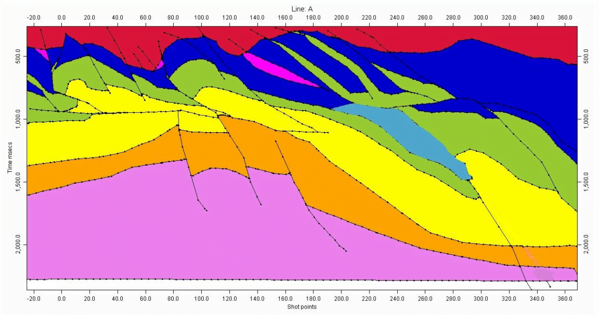
Complex geological structures—such as multi-Z interpretation data, reverse faulting, salt intrusions, pods, and channels—can sometimes be difficult to represent using grids. In such instances, Profile Mode depth conversion is utilized to work with this data. However, before proceeding, you must first complete the Profile Snapping process.
Data output from workstations primarily consists of segment-oriented data, which is a collection of digitized sequential data points measured by SP/CDP and TWT (Two-Way Time). These data points are gathered into segments until a break occurs, often due to a fault. While it’s generally easy for the human mind to recognize that a series of these segments represents a geological layer, the challenge lies in instructing the program to identify this series as a cohesive layer. Snapping is a semi-automatic process designed to connect and integrate these discrete segment-oriented data points into a meaningful geological layer.
How Velit Handles Pods
In Velit, a Pod is defined as a lens-like layer of rock that is discontinuous, meaning it neither onlaps nor pinches out; rather, it exists as an isolated layer within another layer.
Pods can be effectively depth converted in Velit, with support for up to 32 pods within a profile, allowing each pod to have its own velocity method or share a common one.
Under normal circumstances, Velit assumes layers are continuous throughout the entire profile. If a layer appears to be missing, it may have been truncated by a younger event horizon or intersected by an older event horizon. In such cases, the snapping logic will continue to track the missing layer along the new event horizon until the profile concludes. However, with Pods, this assumption does not hold, so a special protocol can be implemented to instruct the Velit snapping logic to treat the pods as individual, discontinuous entities.